Historical Map Digitizing
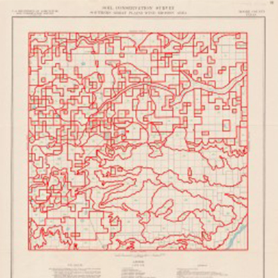
Archival map with digitized polygons.
If you have interesting paper maps from archives or published sources, we can help you convert them into a variety of useful digital forms.  We can create image files for publication or use on the web (jpg, tif, pdf, etc.).  We can georectify them so you can overlay modern maps, import them to GoogleEarth or navigate through them with GPS.  And we can digitize the map features into a GIS format for spatial analysis.

Historical Map Cartography

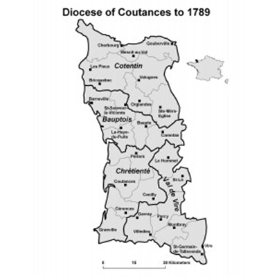
Map created for a forthcoming book on French religious history.
If you need made-to-order historical maps for publication in a journal article or book, we can create them. You provide a basic sketch, the map’s goals, and the underlying historical information; we design a map layout that communicates spatial and historical content to readers while meeting your publisher’s specifications.

Census Mapping Projects

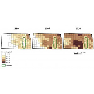
Census data mapped in a time series.
Historical censuses provide rich information for social, political, cultural, agricultural, environmental, and economic history. We can help you map and spatially analyze census data to answer historical questions and represent change over time at a variety of scales. If you have census data in electronic format we’ll match it to appropriate geographic data and design consistent thematic maps, including map animations for multiple time points. If your census information is in paper format (from published census volumes, for example), we’ll help you key it into an attribute database suitable for mapping and statistical analysis.

HGIS Project Development

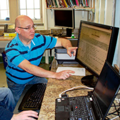
HGIS Lab staff design a new HGIS project
Do you have a trove of historical information or a collection of maps that you would like to analyze geographically? We can help you create a full HGIS project from start to finish. We provide consulting services that take you through all stages of a historical GIS project, including data collection, data entry, and data processing; spatial data creation and digitizing; file management and documentation; spatial analysis, and final cartography. You provide the vision, historical expertise, and data sources and we will help you mold it into a complete HGIS project.

Traditional Land Use Projects

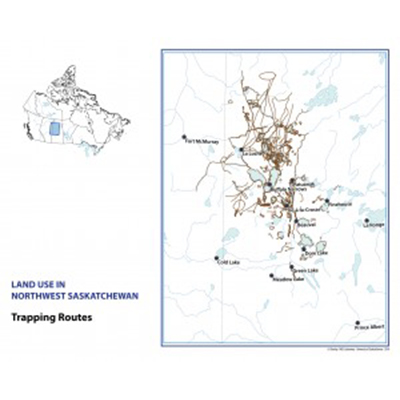
Compilation map of trapping routes reported by all interviewees.
We can assist the construction of a Traditional Land Use GIS to accompany oral history interviews with community members. We will consult on best practices for gathering geographic information before researchers go into the field and digitize the results into a rigorous, well-designed GIS, including printed maps suitable for distribution to interviewees and others.

Scanning Services

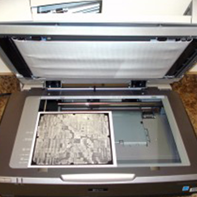
Scanning aerial photos on the HGIS Lab’s high resolution flatbed scanner.

We provide a variety of specialty scanning services, including:

  • high resolution flatbed scanning up to 12” x 17” suitable for photographs
  • wide format scanning up to 42”
  • slide, microfilm, microfiche, and transparency scanning
  • large batch scanning
  • optical character recognition (OCR) and scanning to word-searchable PDF
  • and a range of other scanning jobs.