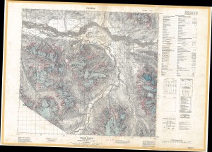
Canadian Glacier Maps
1950 - 2000
For this straightforward project Environment Canada asked the HGIS Lab to help it convert a library collection into digital form. Several hundred large paper maps, created between the 1950s and recent years, depict the changing extent of glaciers in the Canadian north. The HGIS Lab used its wide-format scanner to capture 400 dpi images of the paper maps, then georectified them to allow for overlay analysis or other use in a GIS. A key objective of this project was to preserve these rare maps in an electronic format, both protecting their contents in case of loss or damage and also making them more easily available to researchers.

